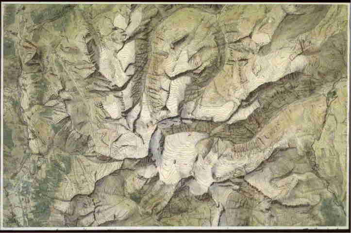
Relief map of the Rheinwaldhorn group 1:50 000
- Watercolor and ink. 1916. Free drawing of the student. Copy from
Topographic Atlas of Switzerland (Siegfried Map),
revised in the glacial areas. Drawn in connection with work on the SAC-Club Guide "Bündner Oberland". 26 x 41 cm.
(Imhof, Eduard C 1)